I’ve explained geography to others as having two fundamental components: (1) the physical reality of our world, like the oceans, great rivers, and high mountain ranges, and (2) the relationship of one place to another, like how Great Britain is separated from mainland Europe by the narrow English Channel. These fundamental components are, well, fundamentally important to the long development of human civilization and the common facts of everyday experience. San Francisco has its remarkably consistent temperatures because of its location on a peninsula adjacent to the Northern Pacific and the cool California Current that flows along America’s west coast. Great Britain avoided invasion in World War II because Hitler’s war machine lacked the naval craft to cross the 20-mile wide Straight of Dover. India and China border one another but their civilizations have little in common because they’re physically separated by the highest mountain range on Earth. Geography is central to these facts. The story of history and the interactions of civilization are substantially informed by the geographical relations of people and places; that’s what the term geopolitics means. And the facts of everyday life, the language you speak, the weather you experience, the types of outdoor activities you participate in are inextricably linked to geography.
 |
| The wonderfully stylized London Underground map |
 |
| An ADC road map of Washington, D.C. |
A Mapping Revolution
There’s only one drawback to traditional maps – they’re static. Any given map is set at one scale and depicts just one area (even if it’s the whole world). You need an entire book (an atlas) to show maps of different locations, details, and data, and that still doesn’t allow for reader configuration of the format or content. But the internet, smart phones, and the massive proliferation of information is changing all that, and more interestingly, proposed enhancements from Google and Apple might take maps to their fullest expression.
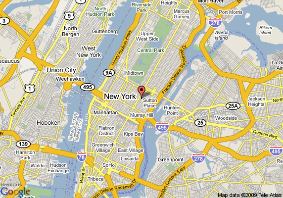
Starting in the 1990s Mapquest and other sites began to offer digital maps, usually for road directions. I didn’t care for these maps because you could only see an area the size of your computer monitor and the maps themselves were rather dull to view. But when Google Maps came out in the early 2000s the aesthetics began to improve and over time they have added important enhancement like an ability to scroll across the entire globe, zoom in an out for greater or less detail, and new layers providing satellite imagery and terrain.
Google’s companion Google Earth application added the ability to change perspective and included 3-D buildings in major cities. Later Google added Street View shots taken from cars mounted with cameras providing 360 degree views that let you actually see – not imagine – what a place looks like. This is a massive shift, converting a map to a far more sensory and immediate experience. Now it’s possible to view, say, the streets of Rome without ever having traveled there. Certainly this is no substitute for actually being there in person, but it does bring views of places all over the world right onto your computer screen.
Other functions allow you to toggle on features like up-to-date traffic information, user photos, labels, and links to Wikipedia articles. And this doesn’t even touch on the powerful linking of maps with GPS, which shows you just where you are and can direct you to just where you’re going, anyplace and anytime. Now Google has announced that they plan to add even more functionality to their maps, including more 3-D buildings and street view shots taken by pedestrians of places where cars can’t go, allowing a user to view cities as if they were in a helicopter, or see nature along hiking trails from thousands of miles away.
These changes have been added incrementally over the last decade so you might not realize just how incredible they really are. No longer are maps 2-D static views limited to a specified area and providing limited information. Google Maps, and probably Apple’s soon to be released map application, provide users a map or satellite photo of any place on the globe, street-level views along a growing network of roads and soon along non-road areas of interest, links to encyclopedia articles, and access to real-time information like traffic conditions or the proximity of coffee shops. And you can do it all from you mobile phone. Enhanced views, more information, and real-time data; that is a mapping revolution.
I wrote above that in my mind I view the world as a large map with much of my knowledge and experience layered onto the underlying structure. Aren’t these new and improving interactive digital maps getting closer and closer to this mental image? The more functionality that is added, the more information is linked, the closer we get to a version of a map that I could have only dreamed of as a child.
Maps as Art

---
NOTES:
[1] Including an old one my uncle had from the late 50s that included a lot of post-World War II/early Cold War names and notations and anachronisms like Japan regaining full sovereignty after the 1951 Treaty of San Francisco or South Africa still ruling Namibia (or Southwest Africa as labeled).
[2] Whose motto is “The Map People.”
No comments:
Post a Comment